
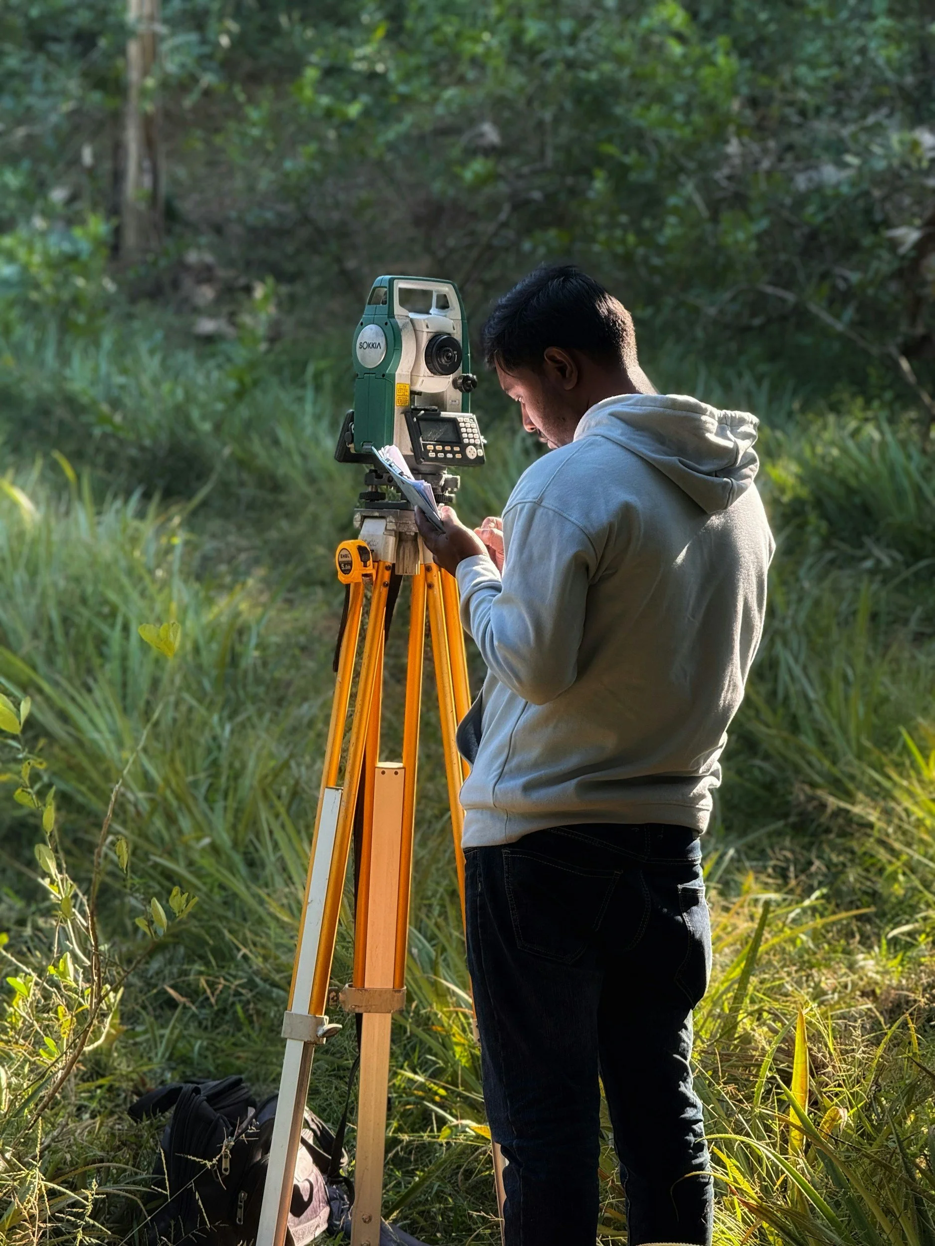
Professional Land and Acreage Services of Missouri and Arkansas
Located in Howell County, Missouri, we offer a wide variety of surveying services to our neighbors in South-Central Missouri and Northern Arkansas!
From construction staking and topographic surveying to reality services to boundary and elevation jobs, we are proud to serve our local area with accuracy and efficiency.


Our Services
We provide surveying and site documentation services for homeowners, builders, contractors, developers, real estate professionals, attorneys, title companies, and municipal or commercial clients. Whether you need support for a property purchase, construction project, land development, or site planning, our services are designed to meet a wide range of project needs.
Boundary Surveying
-
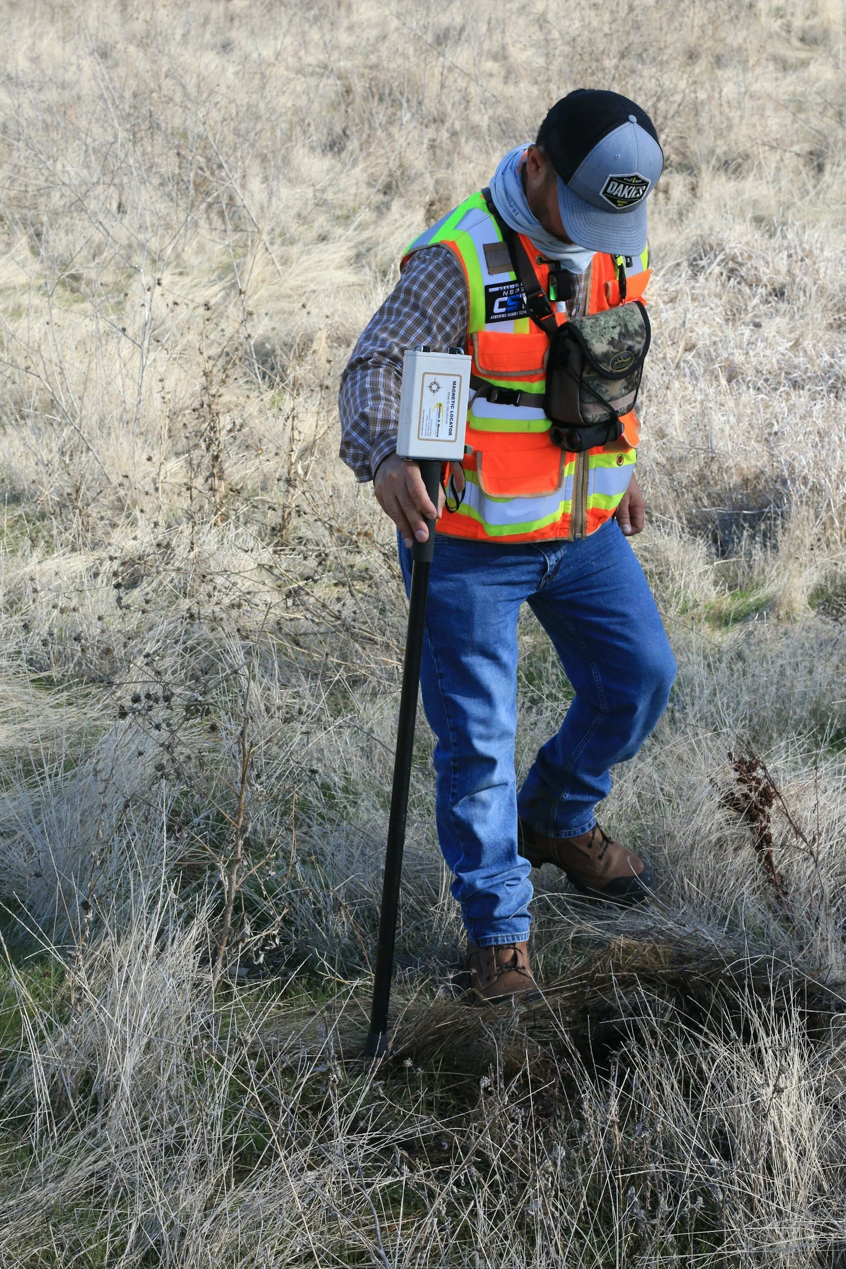
Boundary surveying helps identify and document property lines, corners, and land boundaries.
This service is often needed for buying or selling property, resolving boundary questions, planning improvements, fencing, or preparing for development. We provide boundary surveying services in Missouri.
-
Helpful information to have ready includes the property address, parcel number if available, and any existing deed, title work, prior survey, or legal description.
It is also helpful to share the reason for the survey, such as a fence, sale, property question, or building project.
Elevation Certificates
-
Elevation certificates document a property’s elevation in relation to current floodplain data and FEMA requirements.
These are often needed for flood insurance, permitting, property transactions, or confirming compliance with local regulations. We provide elevation certificate services in Missouri.
-
Helpful information to have ready includes the property address and any available flood insurance paperwork, FEMA-related documents, building information, or prior elevation certificate.
It is also helpful to know whether the certificate is needed for insurance, permitting, or another purpose.
Construction Staking
-
Construction layout and staking gives contractors and property owners accurate reference points for building placement, grading, utilities, roads, and other site improvements.
This service helps keep projects aligned with approved plans and reduces costly mistakes in the field. We provide construction layout and staking services in Missouri and Arkansas.
-
Helpful information to have ready includes the site address, project timeline, and any approved plans, site plans, grading plans, engineering drawings, or related construction documents.
It is also helpful to provide the main contractor or project manager’s contact information to ensure scheduling and coordination run smoothly.
Topographic Surveyng
-
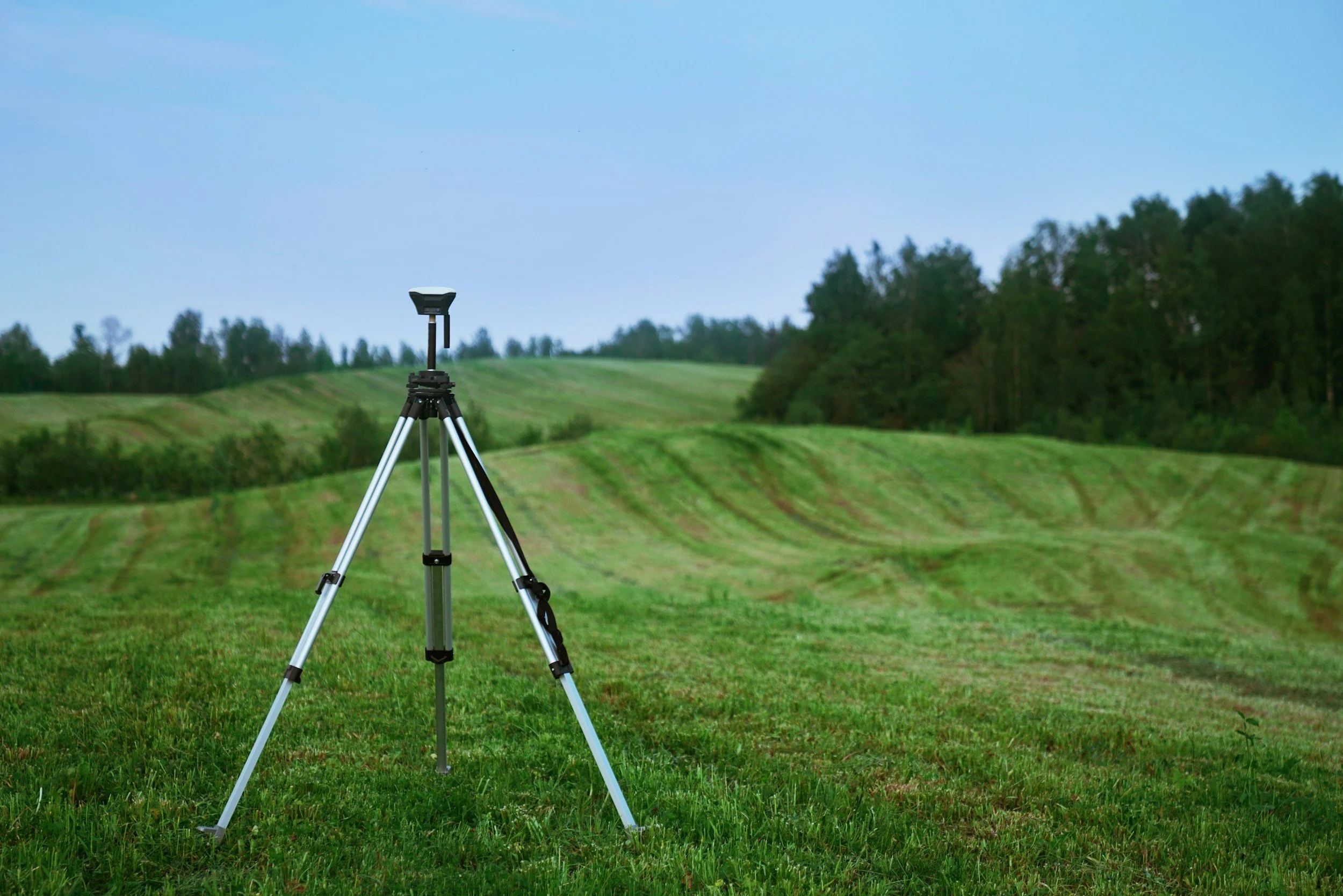
Topographic surveying maps the physical features and elevation changes of a property, including contours, drainage patterns, structures, utilities, and other visible site conditions.
This information is commonly used for design, engineering, land planning, and construction preparation. We provide topographic surveying services in Missouri and Arkansas.
-
Helpful information to have ready includes the property address, parcel information if available, and a general explanation of the project or intended use of the survey.
If there are specific areas of concern, proposed improvements, or design goals, sharing those details up front can help define the scope of work more clearly.
Reality Capture Services
-
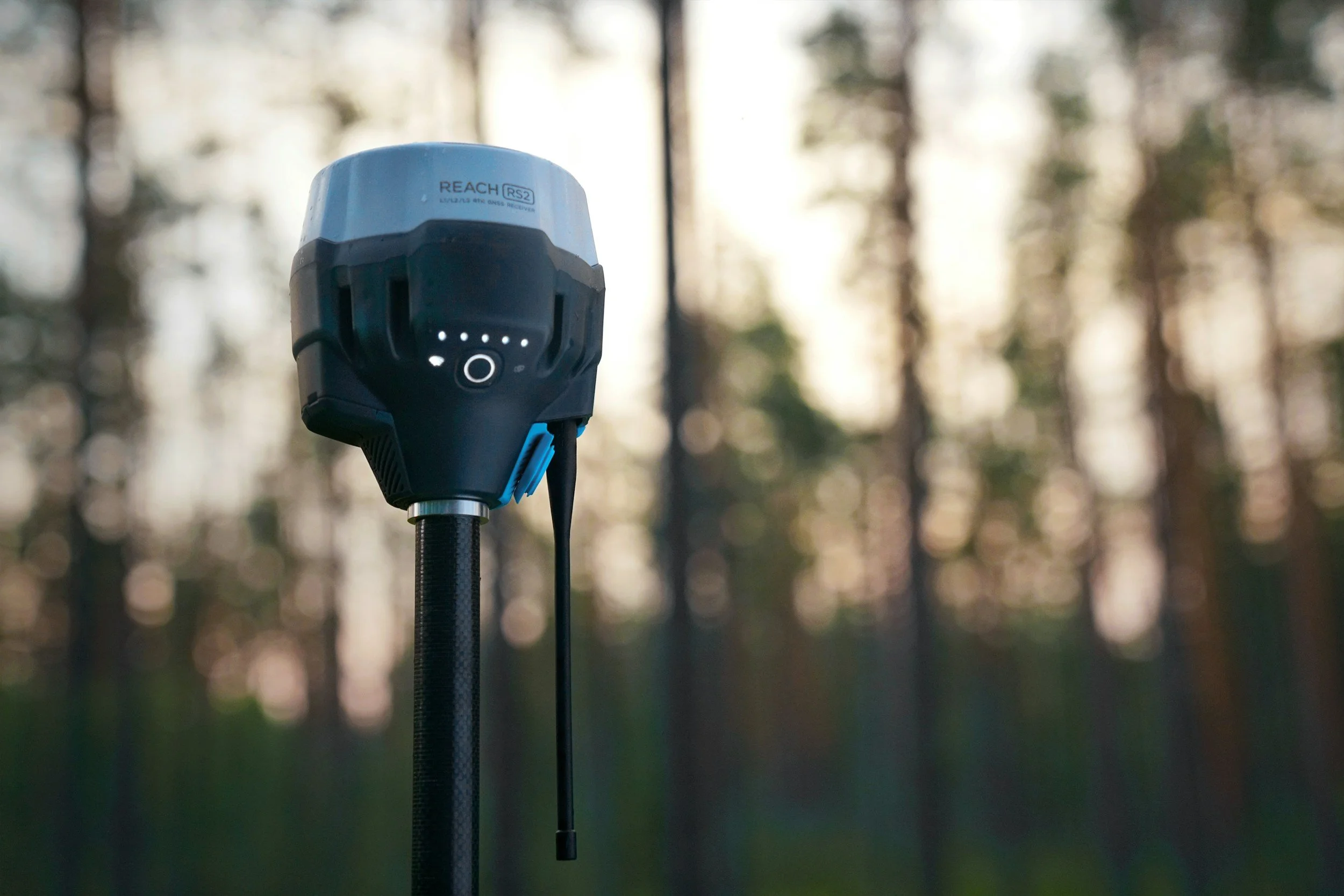
Reality capture services use advanced technology to document existing conditions with a high level of detail and accuracy.
This may include 3D data collection, scanning, and digital site documentation to support planning, design, construction, and asset management. We provide reality capture services in Missouri and Arkansas.
-
Helpful information to have ready includes the project address, a description of the site or structure to be captured, and the intended use of the final data.
If there are preferred file formats, required deliverables, access considerations, safety requirements, or deadlines, it is helpful to share those details before scheduling.
Why Choose Plasma Survey
While hiring a surveyor is common, that doesn’t make the company you hire any less important! Surveying is a critical service for the health and safety of our homes, neighborhoods, communities, and entire infrastructure.
So you can trust that when you hire PLASMA Survey, you’re getting:
A licensed and insured professional
Accurate, dependable field work
Clear communication and scheduling
Timely turnaround
Local experience of 15+ years
Modern equipment/technology
For quick, reliable, trustworthy service, consider us for your projects!
Our Process
We work to keep the process as smooth and efficient as possible while making sure each project is completed with the level of research and field verification it requires. After the contract is signed, we begin property research and then move into fieldwork to gather boundary evidence and site information. Once that work is complete, the final survey documents are prepared and delivered, with recording and monumentation completed as needed. In most cases, payment for services is required up front before work begins.
-
Request a quote
We conduct a site visit then schedule a survey
Sign contract and confirm scope of work
Payment is received
Review existing plats, prior surveys, and surrounding deeds
Perform field survey and search for boundary evidence
Expand the search area if additional evidence is needed
Prepare final plat and survey documents
Sign, seal, deliver, and record documents as needed
Set monuments in the field after platting is complete
Request a Quote
You can request a quote by calling us or by contacting us through our website here!
Use the button below to get in touch.